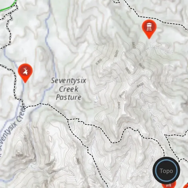
I couldn't imagine hunting or doing work with clients without this service. Of all the things I use, this might be in the top 3 things for me.
I use this to map any trails I go on, any workouts I do for accurate mileage, anywhere I scout, anywhere I see tracks, hell the amount of stuff you can do with this are endless.
The most important for me as someone that does tag applications for clients and hunt plans is the ability for me to create plans and waypoints for clients and then share them with my client via onX maps. This way, I don't have to recreate anything and we can share items back and forth.
Also, while I am hunting personally with clients or buddies, I can take note of waypoints and then we review them daily based on what we saw.
Having the boundaries and information of names and owners is also a must have. Very many times I would be thinking something was private land when it was state land or BLM. That makes it invaluable and has caused the harvest of animals when they might have never happened without this items.
An opportunity for this service is that some landowners names are populated newly year to year and were outdated. I see this even for myself as I bought property and it took 3 years before my name popped up as the land owner.
Nothing is perfect but this is darn near the best expense annually for me.

Elite Hunt Membership

Elite Hunt Membership


